

Resources
Backcountry services to know about
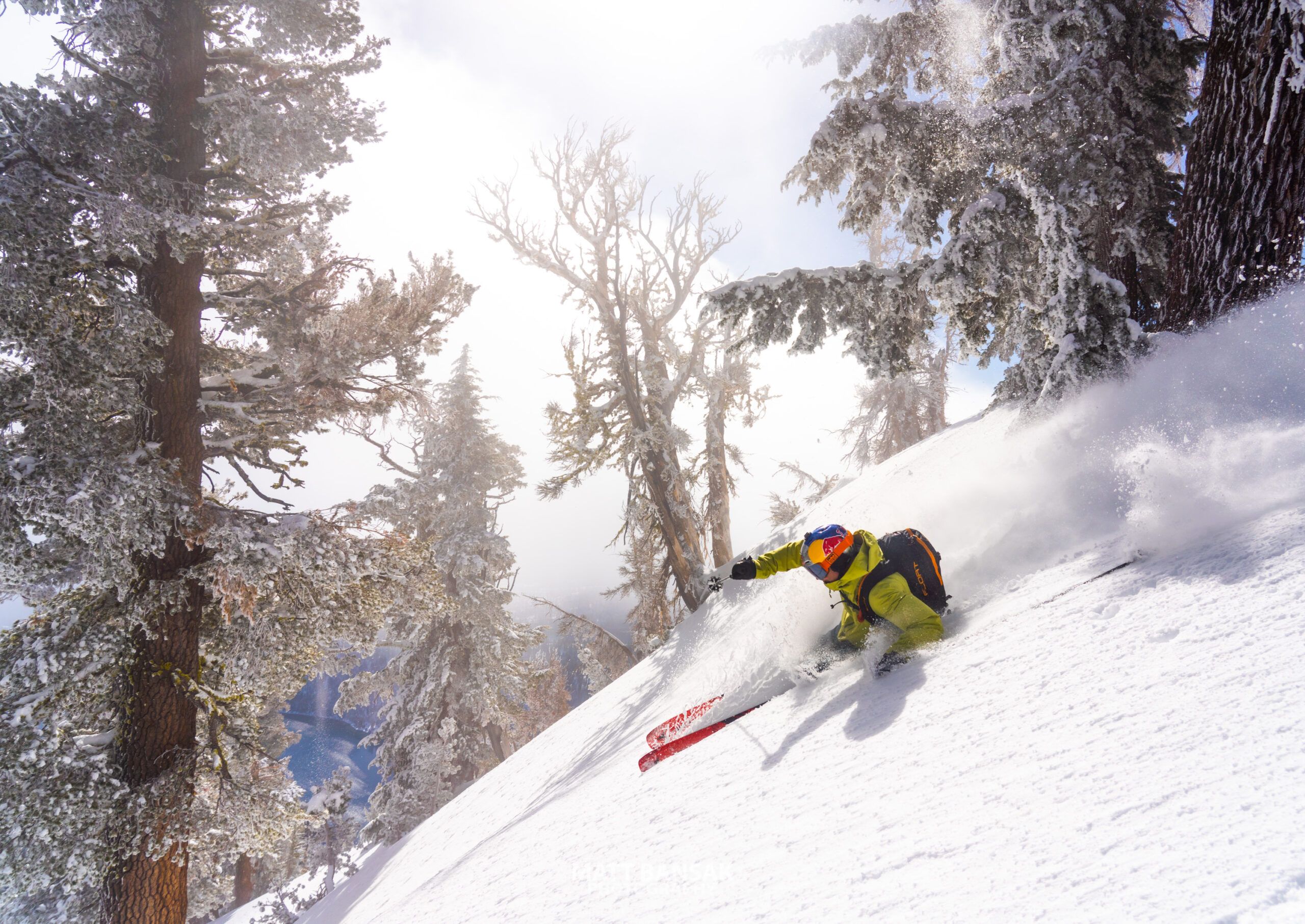
Photo: Matt Bansak
01 · Resources
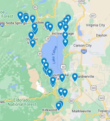
Backcountry Access Zones Map
-
Click here to access our new Backcountry Access Zones map. TBA is happy to share this map of backcountry locations around the Lake Tahoe region as a starting point when considering touring options. This map is by no means exhaustive and does not take into consideration snow/plowing conditions that can affect parking for respective locations. Trailhead and access zone conditions are fluid and subject to changes due to weather, jurisdiction, and agency enforcement. Please research any location before touring to ensure it’s suited to your group’s abilities and always keep current snowpack/weather conditions in mind.
02 · Resources
Weather & Avalanche Forecasts
-
Sierra Avalanche Center
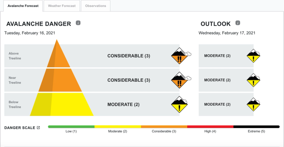
Check the daily avalanche forecast from the Sierra Avalanche Center before heading out. Every day.
-
NWS Reno Mountain Weather Forecast
Want to know the details of what’s happening up in the mountains: snow levels, winds, etc.? Check out the Mountain Weather Forecast from the Reno NWS.
03 · Resources
MicroTransit Resources
-
TART Connect
During summer 2021 Tahoe Area Regional Transit (TART) is serving Tahoe City, Kings Beach and Incline Village with an on-demand, FREE micro transit service from 8am-12am daily. Download the app and start riding! Your ridership and support could help establish and expand this service to a year-round program.
-
Tahoe Sierra Transportation
Help reduce trailhead parking congestion. Call local micro transit options to get a lift to the trailhead.
Phone: 530-550-5300
04 · Resources
Backcountry Education
-
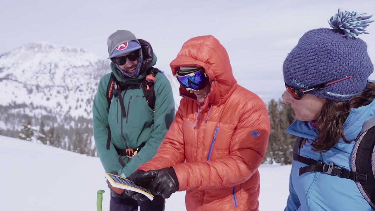
“Daily Flow”
Quick video tutorial from the Sierra Avalanche Center highlighting the importance of good systems in the backcountry.
-
“Know Before You Go”
15 min educational avy awareness video from the Utah Avalanche Center.
- Sierra Avalanche Center Backcountry Education Providers
Local Backcountry Education Providers
The best way to stay safe in the backcountry is to get trained by certified AIARE instructors. The Sierra Avalanche Center provides a list of local providers.
- Uphill Access
Uphill Access Information